Introduction to Kerguelen Island
Kerguelen Island, often referred to as the “Desolation Island,” is one of the most remote places on Earth. It is part of the French Southern and Antarctic Lands (Terres australes et antarctiques françaises, TAAF), located in the southern Indian Ocean. The island lies approximately 3,300 kilometers southeast of Madagascar and 4,800 kilometers southwest of Australia. Despite its isolation, Kerguelen has a rich geological history, unique biodiversity, and fascinating myths that surround its existence.
Geographic and Geological Overview
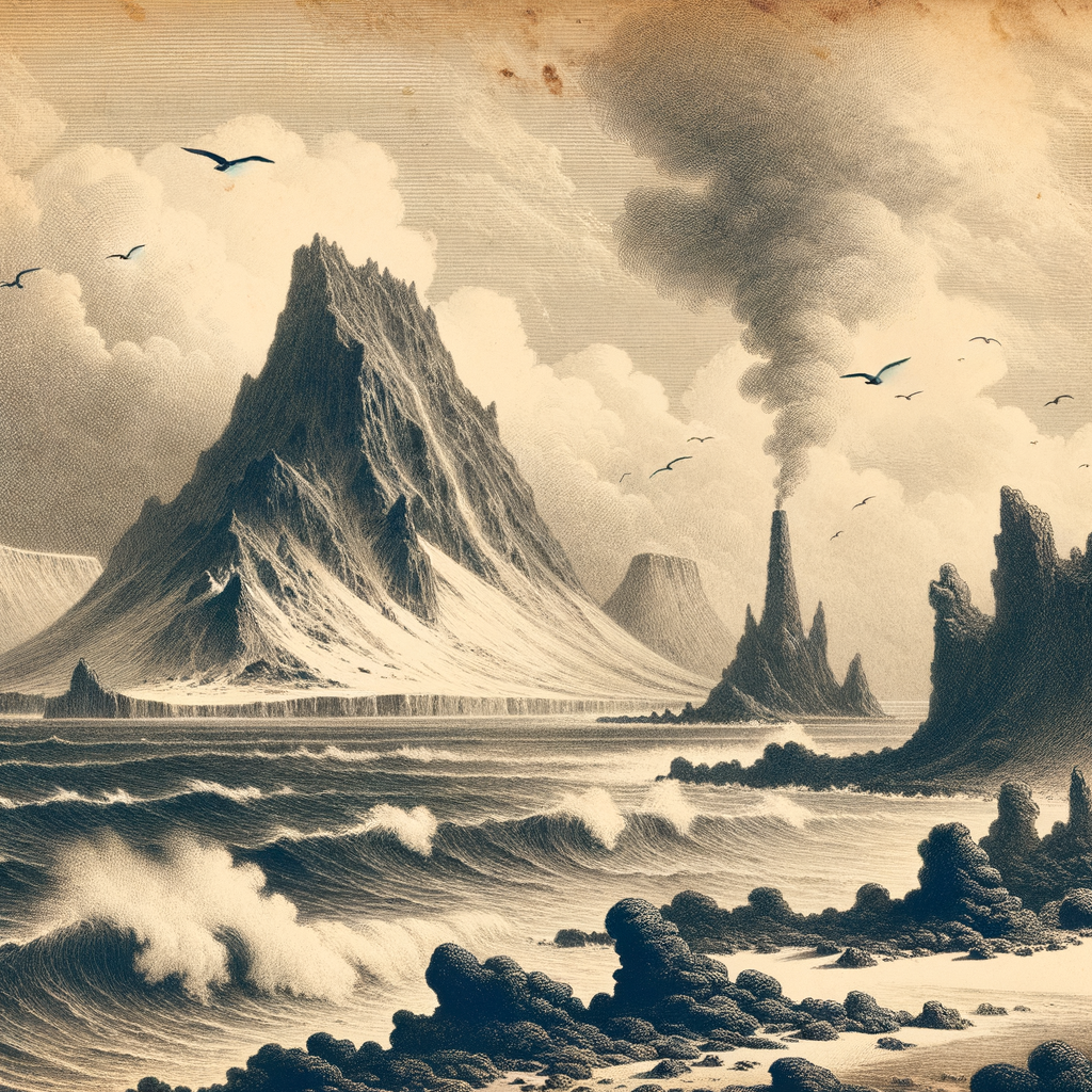
Kerguelen Island is the largest island in the Kerguelen Archipelago, encompassing an area of around 6,675 square kilometers. It is part of the submerged Kerguelen Plateau, a large igneous province that originated from a hotspot, similar to the Hawaiian Islands. The island is largely volcanic and mountainous, with its highest peak, Mont Ross, reaching an elevation of 1,850 meters.
The Kerguelen Islands are situated on the Antarctic Plate and are surrounded by the cold waters of the southern Indian Ocean. The volcanic activity that formed the island began about 100 million years ago and has left behind rugged terrain filled with basalt formations, fjords, and glacial valleys. Today, glaciation has significantly shaped the landscape, particularly along its coastal inlets and mountainous interior.
Climate and Environment
Kerguelen has a cold oceanic climate influenced heavily by the surrounding Southern Ocean. Weather conditions are typically harsh and unpredictable. Average annual temperatures range from 4°C in summer to near freezing in winter. Precipitation is frequent, with rain and snow falling over 300 days a year. Winds are notoriously strong, especially during the austral winter.
Due to this extreme climate and isolation, flora and fauna are limited yet unique. Vegetation primarily consists of mosses, lichens, and small flowering plants like the endemic Kerguelen cabbage (Pringlea antiscorbutica), once used by sailors to prevent scurvy. The island is known for its substantial seabird populations, including albatrosses and petrels, and it serves as a breeding ground for southern elephant seals and king penguins. The surrounding waters are biologically rich, hosting various fish species and southern right whales.
Human Activity and Exploration
Kerguelen Island was first discovered in 1772 by the French navigator Yves-Joseph de Kerguelen-Trémarec. Although several expeditions followed, including those by Captain James Cook, human settlement on the island never became permanent due to its harsh conditions. France eventually claimed the island, and today it is administered under TAAF as part of the French overseas territories.
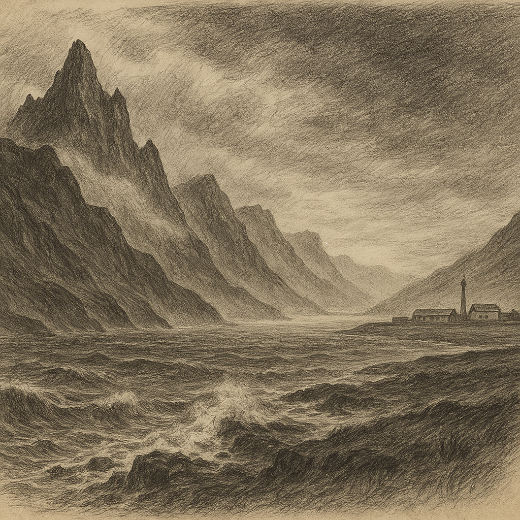
Currently, Kerguelen hosts a single scientific base, Port-aux-Français, located on the eastern coast. It supports a small team of researchers and technical staff, typically fewer than 100 people, who study topics ranging from glaciology and meteorology to biology and satellite tracking. The base operates a meteorological station and a satellite tracking facility for CNES, the French space agency.
Interesting Facts about Kerguelen Island
– Kerguelen Island is sometimes humorously referred to as the “Islands of Total Desolation” due to its bleak landscape and inhospitable conditions.
– There are no native land mammals, but introduced species such as rabbits, sheep, and feral cats have adapted to the environment since being brought by early human visitors.
– The island is one of the few places on Earth where you can witness true sub-Antarctic ecosystems, mostly untouched by direct human interference.
– Port-aux-Français runs on a unique form of logistic support. Supplies, fuel, and food are delivered by ship only a few times a year from Réunion Island.
– Kerguelen cabbage, once an essential source of vitamin C for sailors in the age of exploration, is now used symbolically to represent the island’s natural heritage.
Myths and Legends Surrounding the Island
Over the centuries, the isolation and mystery of Kerguelen Island have given rise to numerous myths and stories. One of the oldest legends comes from early sailors who believed Kerguelen was part of the long-sought Terra Australis Incognita, the mythical southern continent believed to balance the known landmasses of the north.
The mist-covered peaks, eerie silence, and unpredictable swells around the island contributed to tales of ghost ships and vanishing explorers. Some mariners claimed to have seen phantom vessels navigating the foggy fjords, and whispers of sea monsters bred in the cold, deep waters surrounding the island added to its fearsome reputation.
Another enduring legend is that of a hidden treasure supposedly buried by pirates or shipwrecked mariners during the age of exploration. Despite several expeditions launched in search of this fabled hoard, no conclusive evidence has been found.
Access and Conservation
Visiting Kerguelen Island is no small feat. There are no airports, and the only way to reach the island is by sea, specifically on the French supply and research vessel, Marion Dufresne. The journey from Réunion Island takes nearly a week and requires special permits due to the island’s protected status under French environmental laws.
Conservation efforts focus on studying the impact of introduced species and restoring native ecosystems. Scientists also monitor climate change effects on glaciers and local wildlife. International cooperation plays a key role in preserving this fragile sub-Antarctic environment.
Conclusion
Kerguelen Island remains one of the last great frontiers on Earth. Its extreme isolation, harsh climate, and unique biodiversity make it a living laboratory for science and a hauntingly beautiful relic of Earth’s geological past. Though inaccessible to most, the island continues to entice scientists, adventurers, and dreamers captivated by its barren beauty and cloak of lore.