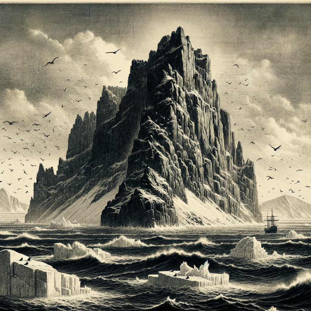
Few pieces of land have entered history so decisively by refusing rescue. In the high Arctic, north of the Siberian mainland and west of Wrangel Island, Herald Island rises from the Chukchi Sea as a dark, abrupt mass of rock and ice, small on the map and forbidding in reality. It belongs to Russia’s Chukotka Autonomous Okrug, and from a distance it appears less like a destination than a warning: steep-sided, cliff-bound, usually wrapped in fog or low cloud, and hemmed in for much of the year by sea ice that can close and shift without mercy.
Its shape helps explain its reputation. The island is not low or inviting but mountainous, with terrain that lifts sharply from the water into a compact plateau and ridges. The coastline offers little easy access. Even in summer, when the Arctic briefly loosens, landing can be difficult or impossible, depending on surf, ice, and weather. This is polar desert country, with sparse vegetation, a short growing season, and a climate defined by cold, wind, and exposure. The island’s very smallness intensifies the scene: there is nowhere to retreat, nowhere to soften the encounter between stone, sea, and sky.
A name carried north by ships and searching
The island was named in the nineteenth century after HMS Herald, the British vessel commanded by Captain Henry Kellett, who saw it in 1849 while searching Arctic waters connected with the lost Franklin expedition. Kellett did not land, but his sighting fixed the island in the geography of a period when much of the polar map was still incomplete, provisional, and argued over through glimpses in difficult weather. In that era, seeing land was not the same as reaching it, and reaching it was not the same as understanding it.
That distinction became painfully clear in 1881, when survivors from the American vessel Jeannette, crushed by ice during the U.S. Arctic expedition led by George W. De Long, reached the island under the command of engineer George W. Melville. The landing was an achievement of endurance. Yet the place gave them almost nothing. There was no wood, no shelter, no easy route inland, and no practical means of sustaining themselves there. Melville later described its severe character in terms that have echoed through accounts of the island ever since: it was a desperate foothold rather than a haven. The party moved on, and the island’s role in the story of Arctic exploration remained brief but unforgettable—a hard fact encountered in the middle of catastrophe.
Cliffs for birds, ice for bears
Human absence has made the island important in another way. It forms part of the Wrangel Island State Nature Reserve, a protected Arctic system recognized for its ecological significance. Although bare to the casual eye, the island supports life specialized for exactly these conditions. Seabirds nest on the cliffs in large colonies, using ledges and inaccessible faces that would repel almost anything larger than wings. Among the species recorded here are kittiwakes, guillemots, and other high-latitude breeders that turn sheer rock into crowded seasonal habitat.
The most emblematic visitor is the polar bear, Ursus maritimus. In years when sea ice conditions permit, bears move through this part of the Chukchi region, and the surrounding protected area is internationally known as important denning and habitat ground. Walrus also use nearby coasts and ice margins in the broader reserve. Nothing about this ecology is lush; it is exacting, narrow, and timed to brief windows of abundance. The island’s silence is therefore not emptiness in the ordinary sense but a compressed Arctic rhythm, with life concentrated where cliff, current, and ice happen to align.
What isolation looks like when it turns vertical
Many remote islands suggest escape. This one suggests severance. It stands apart not simply because it is far away, but because it presents itself as inaccessible at every scale: difficult to approach by ship, hazardous to land upon, austere to cross, impossible to imagine as ordinary ground. No permanent population took hold there. No harbor softened it into usefulness. Its history is made of sightings, attempted landings, scientific interest, and protected status rather than settlement.
That is what makes it linger in the mind. Some islands gather stories by welcoming people ashore; this one accumulated meaning by defeating expectation. Explorers saw it through mist, castaways tested it in extremity, biologists value it because so little has been altered, and maps preserve it as a solitary interruption in the ice-prone sea between Siberia and Alaska. Even now, when satellites have removed the old uncertainty of outline, the place keeps an older kind of reserve. It remains a real island, documented and named, yet still marked by the conditions that once made landfall in the Arctic a matter of luck, nerve, and survival.
Seen in that light, the island’s power lies not in legend but in plain, durable fact: a small Arctic height, difficult to reach and harder to use, standing where weather and ice have always had the stronger claim.