A scatter of shore fires, glimpsed across heaving water, was once the only sign: a rim of light pricking the darkness as a ship held off. That is how an East India Company vessel first marked North Sentinel Island in 1771, in the Bay of Bengal, a low green shape held behind a pale line of surf. The ocean here is not empty, only guarded. Beyond the breakers the reef rests in pale shallows; behind the narrow beach a wall of trees rises without a gap. Hope would have looked like calm water and a place to step ashore. Fear would have looked like that same light, answering.
North Sentinel holds the imagination because distance does not thin it; it thickens. It is administered by India as part of the Union Territory of Andaman & Nicobar Islands, within South Andaman District and Port Blair tehsil. The island lies about 29 km off the west coast of South Andaman and covers 59.67 km². On a chart it is a modest leaf. In the mind it is the feeling of a boat hovering just outside bow range.
Lights beyond the reef
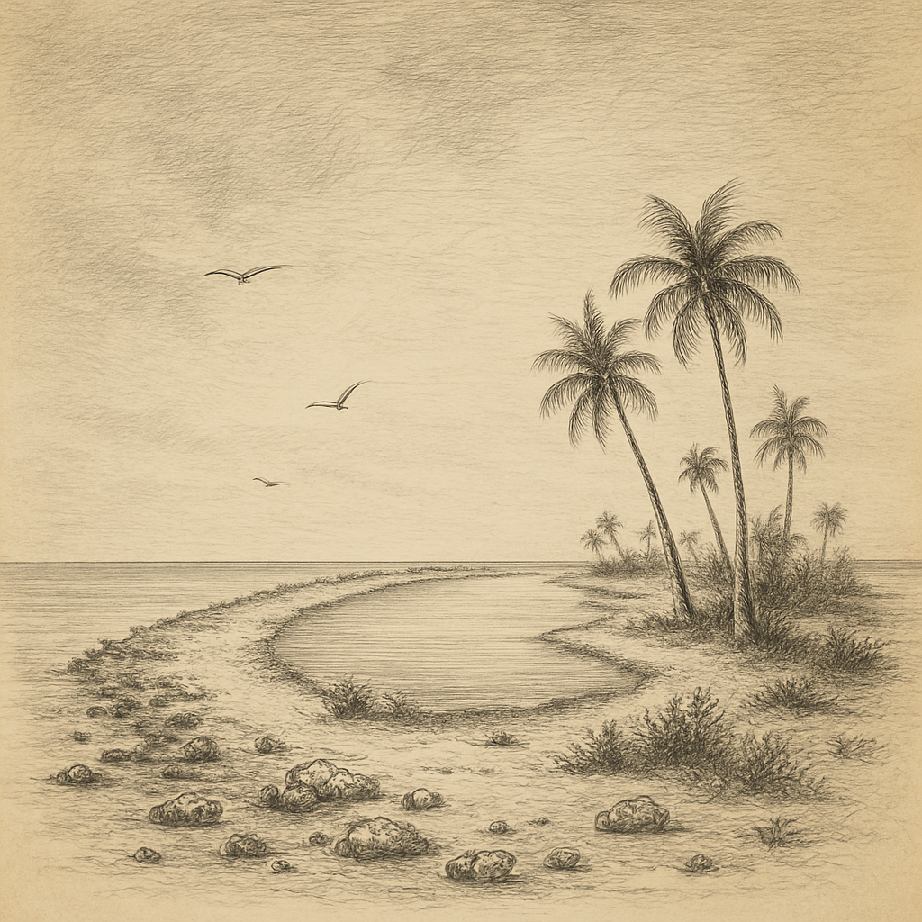
Close approach begins in the color change. Deep blue slackens to jade, then to chalk where the reef lifts toward air and the surf runs thin along its edge. The beach beyond is narrow, a pale ribbon that breaks only for drift. Then the forest takes over, dense, bright, and impenetrable from the water. From offshore, fires seen by the crew of the Diligent were less a welcome than a sign to keep clear. It is an island that meets even a glance like a reply.
Those who tried to cross that strip did not linger. A merchantman called the Nineveh broke on the reef; its castaways were attacked before a Royal Navy party reached them. In spring a film crew and Indian anthropologists dropped gifts from a boat; an arrow found a director’s thigh. Later, ex-king Leopold III of Belgium watched from offshore and kept outside the arc of a bow. The message was consistent. The shore was not an invitation. It was an answer.
Arrows over the reef
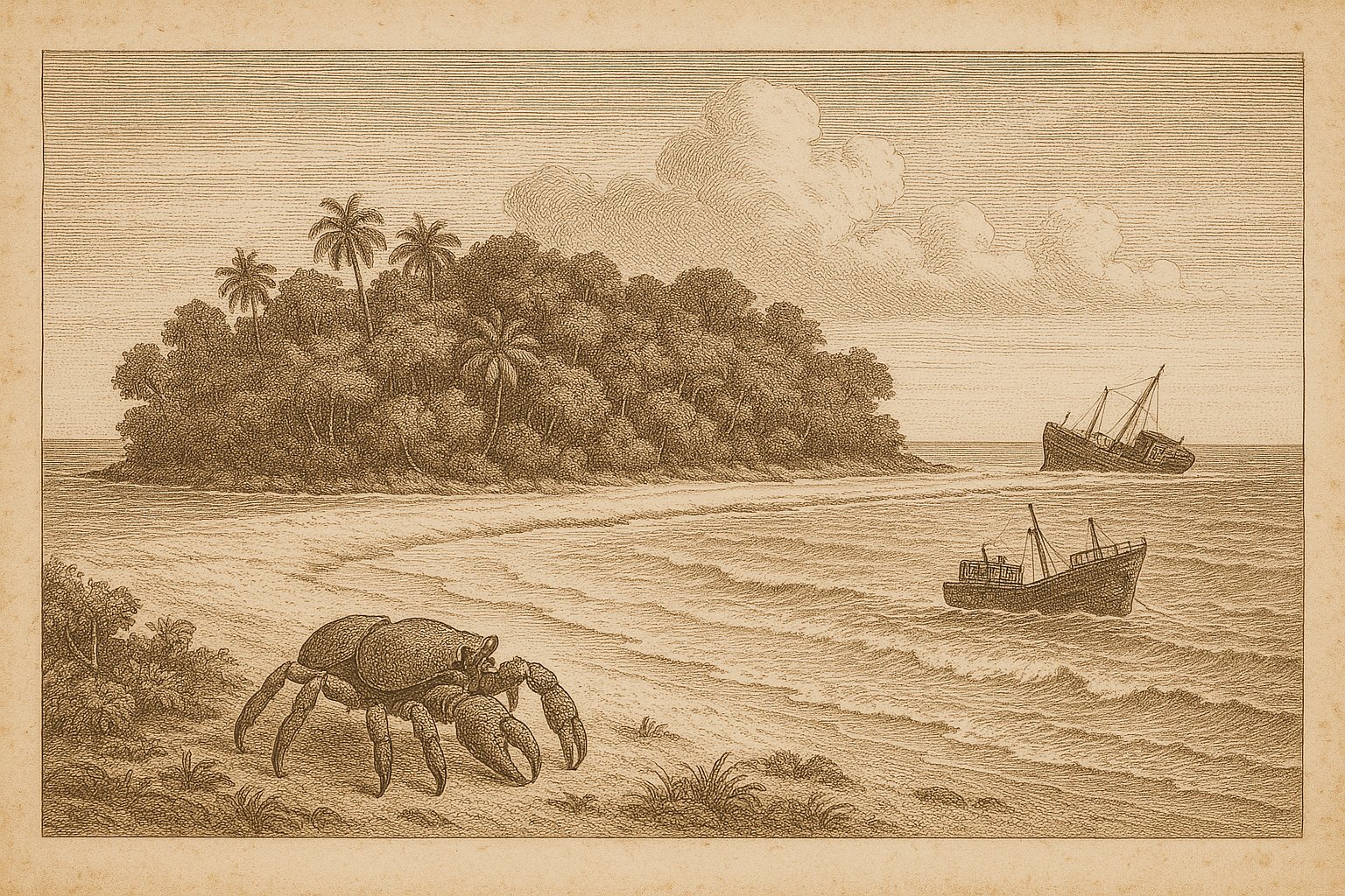
The reef has stranded bigger steel than a merchant sloop. A freighter named the MV Primrose went aground on that coral; days passed before helicopters came to lift its crew away, watched from the beach. After the Indian Ocean earthquake and tsunami in 2004, a Coast Guard flight circled low over North Sentinel and found arrows lifting toward the fuselage. From below, figures stood out on the pale margin between sea and forest, small against the trees, sure in their refusal. Out on the wider ocean, reefs like Blenheim Reef make the same plain argument in coral.
Years later, a visitor came alone in mid-November and stepped past that same line. He died on the beach, and the story traveled farther than any canoe. Names are known now—John Allen Chau on one side, the Sentinelese on the other—yet the island’s stance did not change. The surf still writes a shifting border across the reef. The trees still hide what they choose to hide. In 2018, the distance proved as final as ever, because it was enforced at arm’s length.
Forest, reef, and crabs
Behind the beach, the island is densely forested—the phrase repeats in reports because it is exact. The canopy climbs quickly from the sand and runs unbroken toward the island’s center. In the Andaman–Nicobar region the world’s largest land crab, the coconut crab, Birgus latro, occurs; near this latitude it reaches the northern edge of its Indian Ocean range. The animal’s armor and claws suit the place: patient, strong, and nocturnal among roots. Birds work the edge where spray meets branch. The interior keeps its own council beneath a green roof.
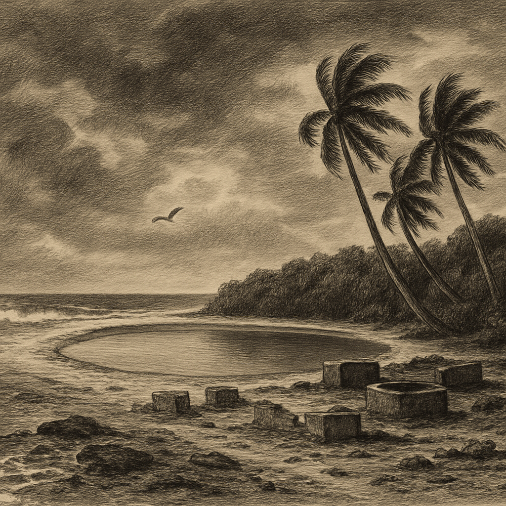
Even the coastline has changed in living memory. Satellite imagery shows that parts of the sea floor rose and stayed up, leaving bright-white reef flats newly exposed around the island. The shallows glare by day like salt in a pan, and the surf no longer lies where older charts once drew it. A NASA Earth Observatory feature fixed that change in a series of pale frames: uplift set into the reef, tide lines moved, color shifted from deep blue to porcelain. Elsewhere, solitary islets such as Christmas Island are measured by posts and ports; here the measures are light and water.
On India’s maps
North Sentinel Island sits on India’s maps as part of the Union Territory of Andaman & Nicobar Islands, under South Andaman District and Port Blair tehsil. It lies in the Bay of Bengal among the Andamans, reported by gazetteers and satellites with the blunt efficiency of coordinates. What the island calls itself is unrecorded. The English name, used on charts and in dispatches, feels functional rather than intimate. Across the Indian Ocean, names like Diego Garcia and Agalega Island carry their own kinds of remoteness. This one carries refusal.
From the shore the present is simple enough: trees, surf, the arc of a bow, and a watch kept. Yet satellites that made the uplift legible have also made the island familiar to those who will never be near it. The first record here was a line about lights on the beach. The latest is a world’s worth of eyes looking down and keeping their distance. What endures is the white rim of reef at sunset, bright as chalk, and the knowledge that a boat would stop short of it.
Quick facts
- Location: 11°33′N 92°14′E; about 29 km off the west coast of South Andaman Island
- Area: 59.67 km²
- Status: India; Union Territory of Andaman & Nicobar Islands; South Andaman District; Port Blair tehsil
- Name: North Sentinel Island (local endonym unrecorded)
- Wildlife: Densely forested interior; coconut crab (Birgus latro) occurs near its northern Indian Ocean limit
- Coastline change: Post-2004 uplift with newly exposed bright-white reef flats documented in imagery
Sources
- NASA Earth Observatory (2009): North Sentinel Island, Andaman Sea
- The American Scholar (2000): The Last Island of the Savages
- BBC News (2018): John Allen Chau: Who was US man killed in remote islands?
- Encyclopædia Britannica (1911): Andaman Islands
- GeoNames (2024): North Sentinel Island
- Raffles Bulletin of Zoology (2022): Troubled giants: The updated conservation status of the coconut crab (Birgus latro)