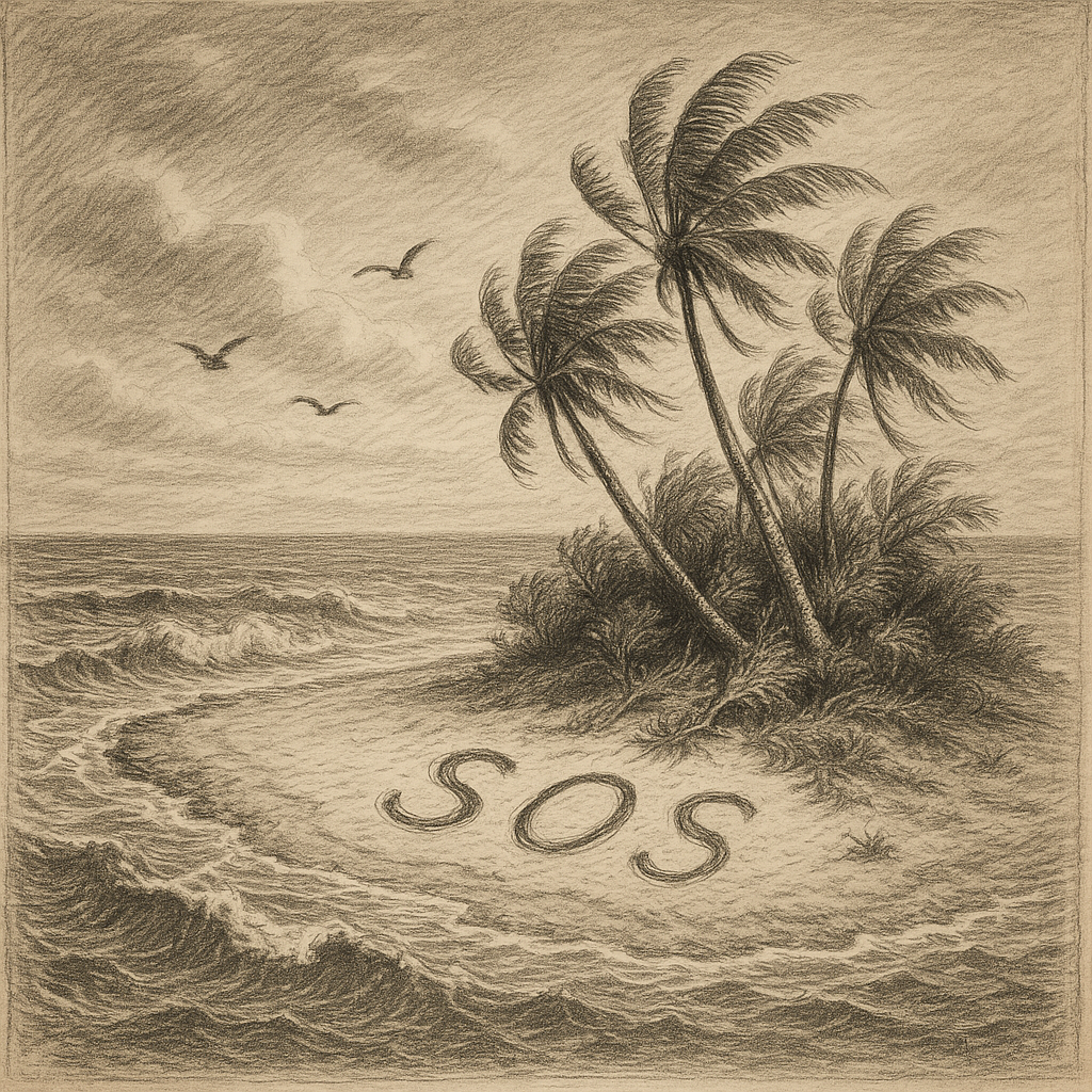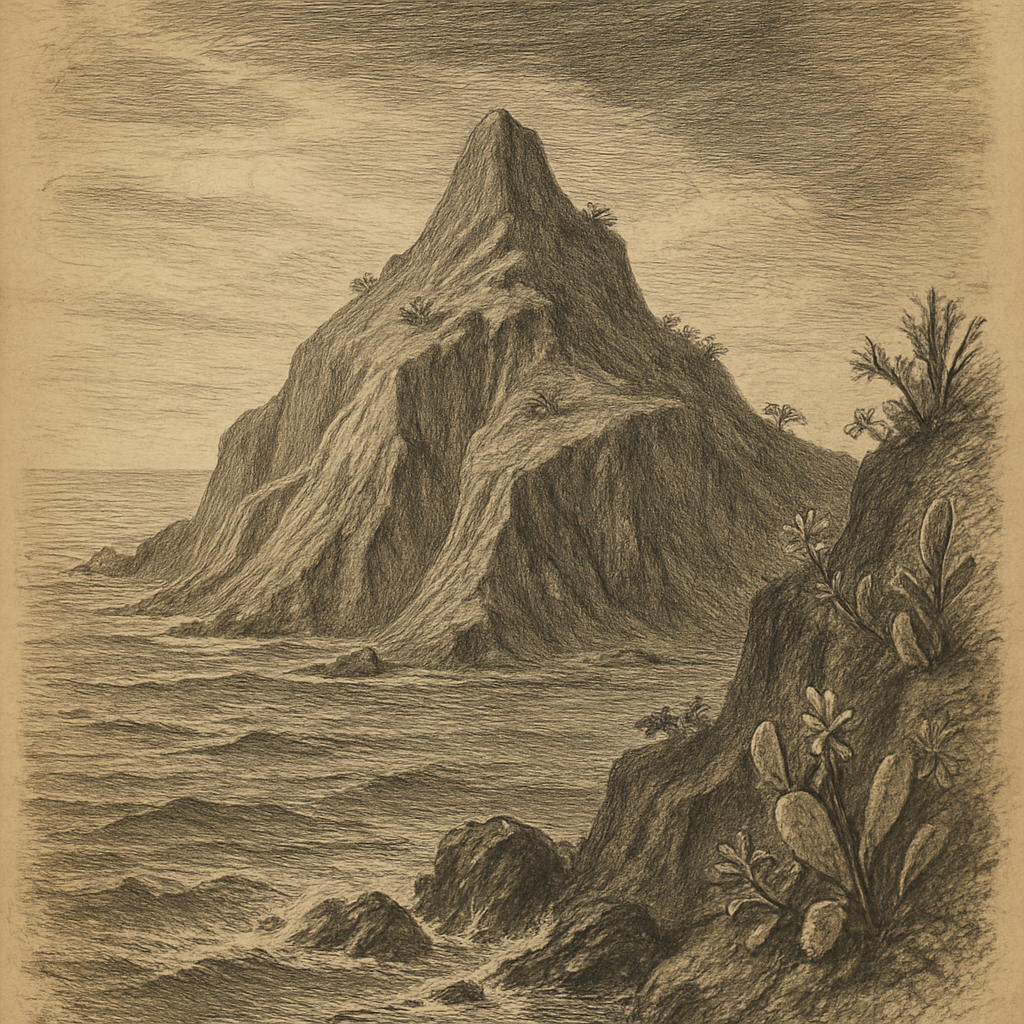
Few places look so final on a chart and yet belong so unmistakably to a living nation. Clarion Island lies alone in the Pacific, the westernmost and most remote of Mexico’s Revillagigedo Islands, more than 700 kilometers from the mainland. It is uninhabited, difficult to approach, and seldom seen except by naval patrols, researchers, and the occasional vessel crossing an otherwise enormous field of water. Distance defines it at first. Then shape takes over: an oceanic volcanic island, dry-brown from afar, edged by steep coasts and broken by elevated ground rather than any easy harbor or gentle invitation ashore.
A dry volcano far from the continent
Geologically, this is a volcanic island rising from the Pacific seafloor, part of the same isolated Mexican archipelago that includes Socorro, San Benedicto, and Roca Partida. Its area is modest, but its profile is strong enough to hold the eye: cliffs, ravines, and a central highland reaching roughly 335 meters at Monte Gallegos. Unlike the lush image many people attach to remote islands, this one is notably arid. Rainfall is limited, fresh water is scarce, and the vegetation reflects that austerity. Shrubs, low trees, cacti, and hardy dryland plants dominate a landscape shaped as much by exposure and scarcity as by volcanic origin.
The coast offers little comfort. Landings have always been troublesome because surf and rock do much of the island’s guarding. That practical difficulty helps explain its history. For centuries it remained more a reported object than a visited place, known to navigators moving through the eastern Pacific but never drawn into the steady rhythms of settlement. Even now, the island’s remoteness is not romantic abstraction but logistics: long transit, uncertain sea conditions, and an environment with few of the elements human communities usually require.
Named, claimed, and mostly left alone
The documentary record places the island within the sphere of Spanish navigation in the early modern Pacific, and its present name appears to derive from the American brig Clarion, which visited in the nineteenth century. Before that, the island was also known as Santa Rosa. Such changes of name are common in ocean history, where a place may be encountered repeatedly without ever becoming familiar. The island entered maps and sailing knowledge, but not everyday geography. It stayed peripheral even while formally belonging to imperial routes and, later, to the Mexican state.
That status sharpened in the twentieth century. Mexico maintained a naval presence on the island at times, partly to reinforce sovereignty over this remote ocean territory. There were efforts at occupation and practical use, but permanence never truly took hold. The conditions were too severe, the resupply too cumbersome, the setting too detached from ordinary patterns of habitation. What survives in the historical record is not the story of a thriving outpost but of intermittent human assertion against a place that remained overwhelmingly itself.
Its political significance has exceeded its size. Like other far-flung islands, it matters in law and maritime geography because islands extend territorial seas and exclusive economic zones. In that sense, this lonely volcanic outcrop anchors an immense surrounding space of ocean. Yet the contrast is striking: a small, hard landform with almost no civilian life attached to it, carrying large implications on nautical charts and in national jurisdiction.
Bird ground, altered ground
The island’s scientific importance has often centered on seabirds and isolation. Remote oceanic islands can generate their own biological peculiarities, and this one has done so, though not always under ideal conditions. Introduced animals, especially pigs in the past, damaged vegetation and affected native fauna, a familiar but devastating pattern on islands worldwide. Conservation work in the Revillagigedo group has increasingly emphasized restoration and protection, and the archipelago is now internationally recognized for its ecological value. In 2016, the islands and surrounding waters were inscribed as a UNESCO World Heritage site.
Birdlife gives the island some of its strongest living character. Seabirds use these remote Pacific islands as breeding grounds, and Clarion has been associated with endemic forms, including the Clarion wren, Troglodytes tanneri, a species found nowhere else. That fact alone changes the scale of the place. What appears from a ship as a lonely, sun-struck mass of rock and scrub is also a singular evolutionary address, one of those rare sites where isolation has written its own small but irreplaceable variations into life.
There is no rich store of folklore attached to the island in the popular imagination, no famous haunting or dramatic local legend securely fixed to its shores. Its eeriness comes from something more documentary: the long record of being seen at a distance, named, revisited, and still left largely beyond ordinary human use. Many islands gather stories because people stay. This one gathers them because people usually do not.
The Pacific kept at full scale
What lingers about the island is not ruin but disproportionality. A place so small stands in relation to a sea so large that every fact about it seems sharpened by contrast: a summit only a few hundred meters high, a handful of endemic species, a thin record of visits, a strategic reach extending far into open water. The effect is austere but not empty. The island offers a rare sense of the Pacific without softening, an expanse in which land is exceptional and temporary human presence even more so.
To read about it is to encounter a version of remoteness that has not been turned into scenery. The cliffs, the dry volcanic slopes, the difficult shore, the birds holding to a place almost nobody sees: these are not symbols arranged for effect, but the ordinary terms of existence there. On most maps, the island is only a name at the far edge of Mexico. In reality, it is a severe, exact piece of the planet, standing where the continent has long since fallen away and the ocean resumes command.