At the top edge of the map
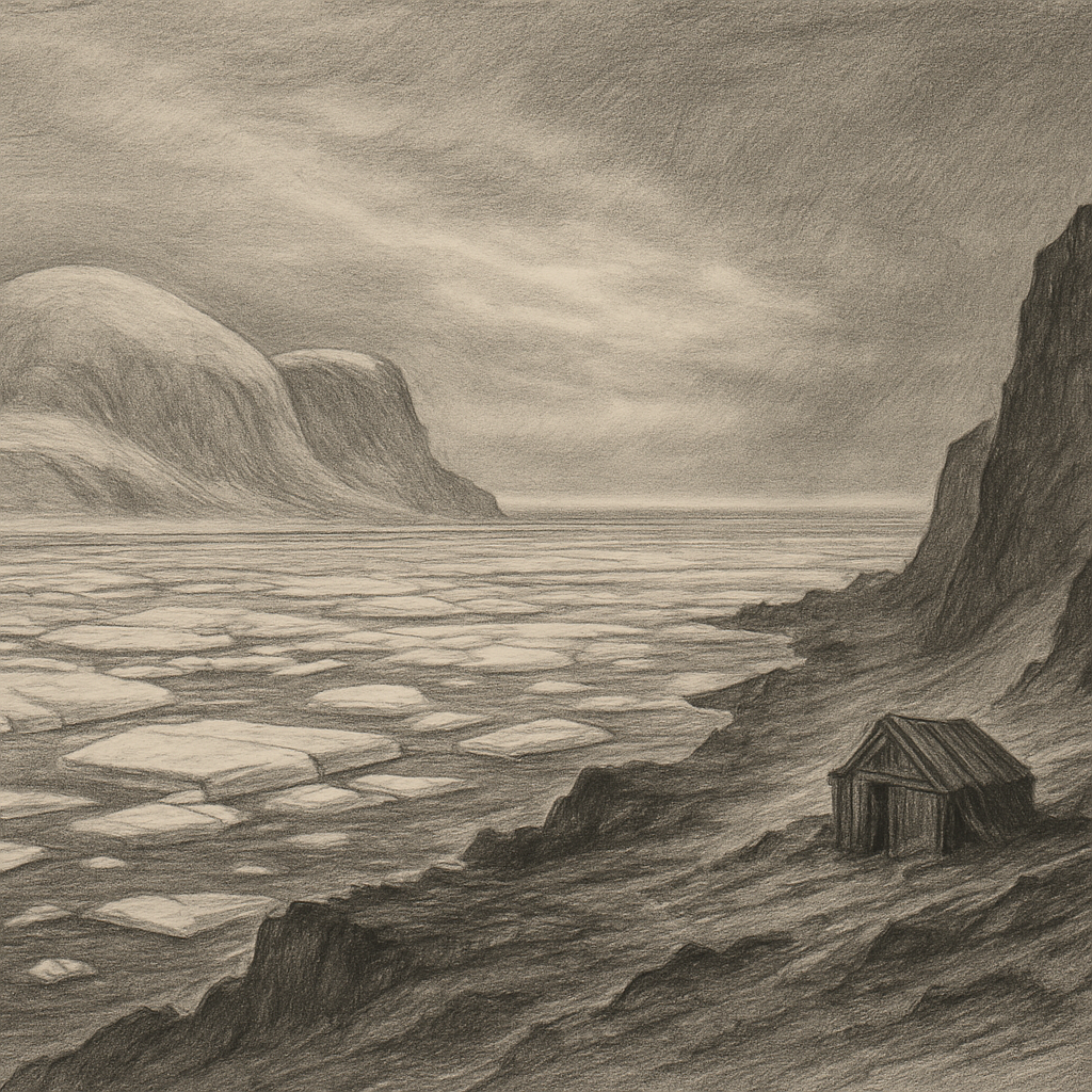
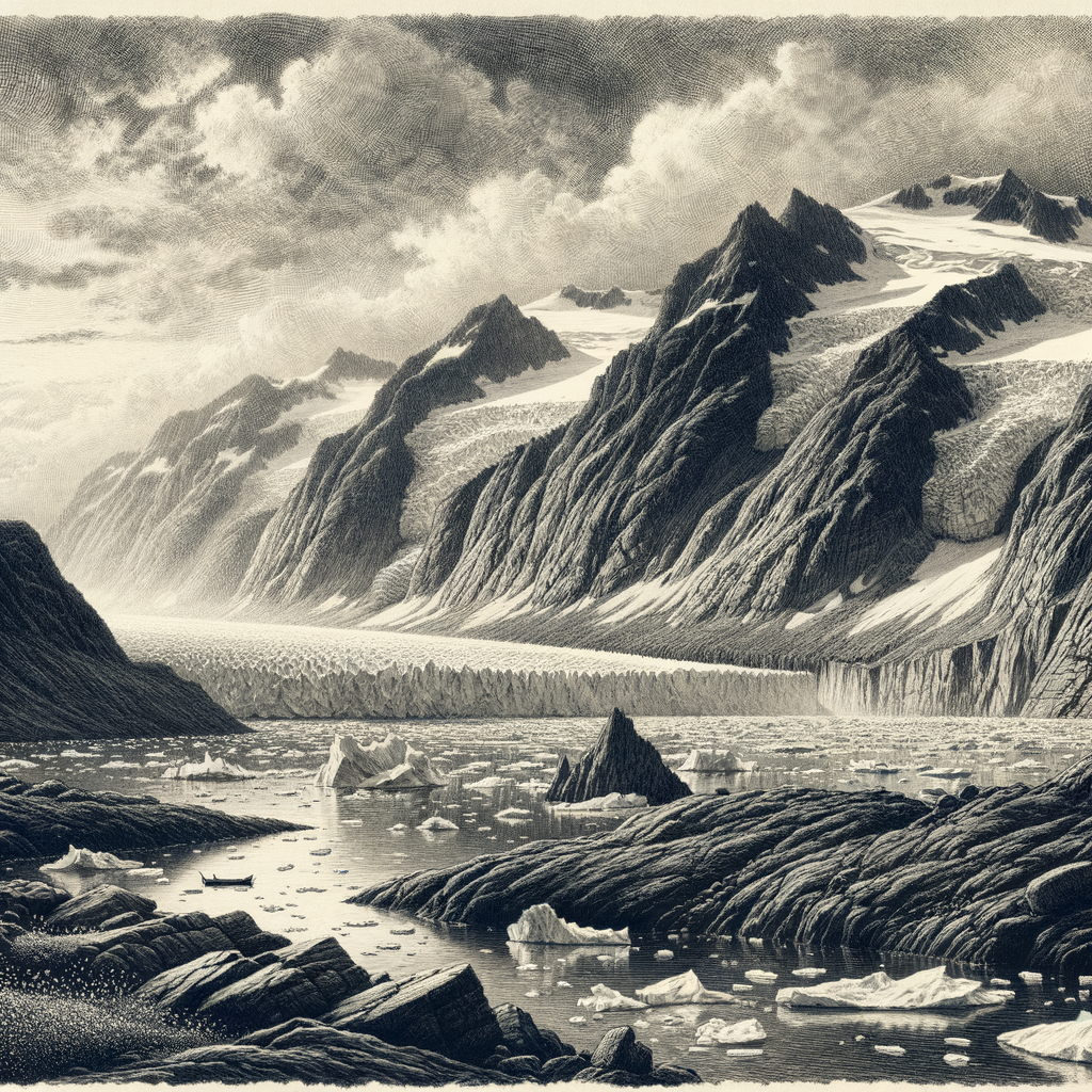
Few islands seem less interested in human company. Komsomolets Island lies in the high Russian Arctic, the northernmost major island of the Severnaya Zemlya archipelago, set between the Kara Sea and the Laptev Sea and divided from October Revolution Island by the Red Army Strait. Even by polar standards it is severe ground: broad, glaciated, wind-scoured, and locked for most of the year in a climate that allows almost no softness. Much of its surface is occupied by ice caps, including the Academy of Sciences Ice Cap, one of the largest on Earth outside Antarctica and Greenland. The coasts are cut by bays and fjords, but from above the dominant impression is of whiteness interrupted by dark rock and narrow margins of exposed land.
This is not an island of villages, ruins, or old anchorages. It belongs to a category even rarer than uninhabited places: places that have barely admitted people at all. The terrain, the ice, and the latitude have kept it in a state close to first principles. In summer, the edges loosen slightly. Snow retreats from some coastal ground, birds arrive, and meltwater briefly writes thin lines across the tundra. Yet the larger fact remains the same. Here the year is governed by polar night, sea ice, and temperatures that make permanence difficult for almost everything.
A late discovery in an old ocean
For centuries, the blank space north of Siberia tempted conjecture. Russian navigators and explorers suspected land in these waters long before it was properly described, but the archipelago to which this island belongs was not confirmed until the 20th century. In 1913, the Hydrographic Expedition of the Arctic Ocean, led by Boris Vilkitsky, sighted and charted Severnaya Zemlya, one of the last major archipelagos on Earth to enter world geography. That lateness gives the place a peculiar modernity: unlike islands wrapped in classical lore or imperial rivalry for centuries, this one arrived in atlases almost yesterday.
Its name came from the Soviet era, when geography was made to carry ideology as well as coordinates. “Komsomolets” referred to members of the Komsomol, the Communist youth organization. The title remains as a historical layer, but the island itself resists politics by scale and indifference. Expeditions came for mapping, glaciology, geology, and Arctic science, not settlement in any ordinary sense. Stations in Severnaya Zemlya were always tenuous, seasonal, or technically specialized. Human presence here has been instrumental and brief, measured in surveys, weather observations, and ice studies rather than in continuous life.
That scientific importance is not minor. The great ice masses of the island have long attracted researchers interested in accumulation, melt, and the Arctic climate record. In a warming world, such places are no longer merely remote; they are archives under stress. Changes in glacier extent, sea ice conditions, and permafrost are observed here with unusual clarity because there is so little else to obscure them.
Ice, birds, and the narrow economy of survival
What life persists on this high Arctic island does so under strict terms. Vegetation is sparse and low: mosses, lichens, and cold-adapted flowering plants in the brief season when exposed ground is available. Along parts of the coast, seabirds use cliffs and ledges during summer. Ivory gulls, kittiwakes, little auks, and other Arctic species have been recorded in the wider archipelago; such colonies depend on the short interval when the coast becomes biologically active. Marine mammals belong more fully to the surrounding waters and ice than to the land itself, but the island stands within the range of species that define the High Arctic, including polar bear and walrus.
Its starkness is therefore not emptiness in the simple sense. It is a compressed ecosystem, one in which timing matters almost more than abundance. Light returns, birds breed quickly, meltwater runs, the sea margin opens, and then the window closes again. On an island so dominated by ice, every exposed slope and gravel spit becomes consequential. Geography here is a matter of fractions: a little thaw, a little shelter from wind, a little access to open water.
The coast also carries the old, practical unease of polar navigation. These seas have never encouraged romantic seamanship. Ice pressure, fog, drifting floes, and uncertain passages made the waters around Severnaya Zemlya a proving ground for hydrographers and Arctic mariners. The island’s reputation comes not from folklore but from the plain record of difficulty. It was hard to find, hard to chart, hard to approach, and harder still to know in any complete way.
What remains beyond the routes
Seen in that context, the island feels less like a destination than a limit case of land itself. Its outlines are real enough on the chart, yet so much of it is still expressed through ice, weather, and season that it seems perpetually unfinished. There are places on Earth where history gathers in layers of buildings and names; here it gathers in measurements, expedition reports, and the changing edge of a glacier.
That is part of its hold on the imagination. At the top of Eurasia, beyond ordinary routes and far beyond any settled coast, this island persists as a severe fact: a mass of frozen ground discovered late, visited rarely, and still governed by forces larger than any plan made for it. In an age of satellites and shrinking distances, it remains one of those rare pieces of the world that has not been made familiar by being seen. It is known, certainly. But it is not domesticated.