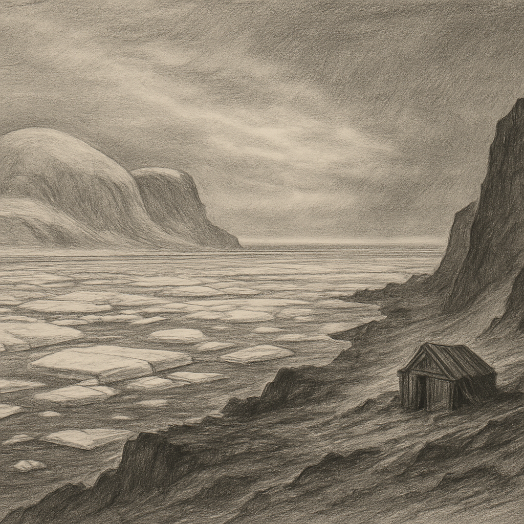
There are places so far inside the Arctic that even the map seems to hesitate before naming them. Kvitøya lies at the northeastern edge of Svalbard, washed by the Barents Sea and pressed by pack ice for much of the year, a near-circular island whose very name means “White Island.” The name is not poetic exaggeration. Almost all of it is buried beneath an ice cap, and what little bare ground appears along parts of the coast does so as a narrow, stony margin between glacier and sea. Seen from a distance, it can look less like an island than like a pale obstruction adrift at the limit of navigation.
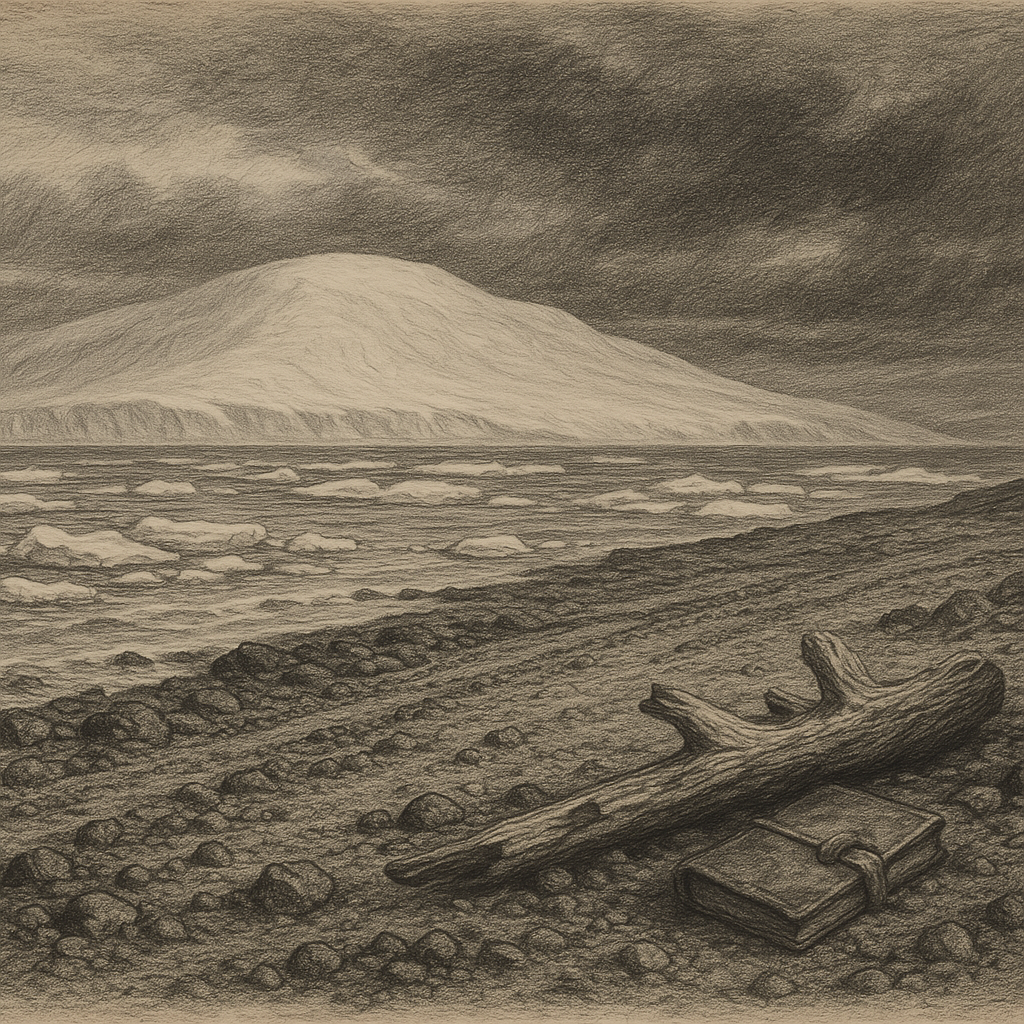
Its remoteness is not just a matter of latitude. For centuries this was one of the least accessible corners of the European Arctic, difficult to approach because shifting sea ice often sealed it off. The island’s area is about 680 square kilometres, making it one of the larger islands in Svalbard, yet the land itself remains visually elusive because the ice dominates everything. The highest parts rise gently beneath that frozen cover, while the coastline, where it is exposed, is low, gravelly, and severe. On Andrée Land, one of the few ice-free sectors, the ground appears in dark contrast to the whiteness above it: beach ridges, frost-shattered stone, and the occasional driftwood log carried from far-off rivers by Arctic currents.
At the margin of reach
The island entered modern history late. Dutch whalers may have known of it in the seventeenth century, but reliable identification came only in 1707, when Cornelis Giles and Outger Rep sighted it during a voyage in the high Arctic. Even then, knowledge remained thin. For a long time it was more rumor in ice than destination, marked on charts but rarely visited, because conditions around it were notoriously hostile to ships.
What fixed it in public memory was not settlement or conquest, but disaster. In July 1897 the Swedish engineer Salomon August Andrée set out from Danes Island in a hydrogen balloon, Örnen, hoping to drift across the Arctic and reach the North Pole. The attempt failed almost immediately. After only a few days the balloon came down on the pack ice. Andrée, Nils Strindberg, and Knut Frænkel then hauled sledges and boats across the ice for months in desperate conditions. In October they reached this island and made camp on its bleak shore. There they died.
For thirty-three years, nobody knew their final fate. Then, in 1930, a Norwegian expedition found their camp remains, bones, equipment, and the notebooks and exposed photographic film that turned the episode into one of polar history’s most haunting records. Those recovered images are extraordinary not because they dramatize heroism, but because they show the expedition reduced to the scale of weather, ice, and endurance. Here, on a beach at the edge of a white silence, one of the great age-of-exploration ambitions ended in exhaustion.
Ice above, life below
The island is now part of the Svalbard nature reserve system, protected within one of the strictest environmental regimes in Europe. Human presence is minimal and tightly controlled. There is no permanent population, no harbor, no infrastructure in any ordinary sense. Access depends on exceptional conditions, permits, and the kind of logistical planning required for serious polar travel.
Yet absence of people does not mean absence of life. The coast is known as an important haul-out and denning region for the polar bear, Ursus maritimus. Ivory gulls, Pagophila eburnea, one of the Arctic’s most characteristic and vulnerable seabirds, have been recorded here, fittingly at home in a landscape where snow, ice, and sea merge into one another. Walruses use parts of the shore, and the waters around the island belong to a marine world shaped by cold currents, sea ice dynamics, and short, intense summers.
What makes the place so singular is the disproportion between its apparent simplicity and its actual complexity. From afar, it seems blank. Up close, it is full of evidence: the push and retreat of glaciers, the annual rearrangement of sea ice, the patient accumulation of drift, the precarious opportunities for animals that live at the northern edge of possibility. Even the exposed ground is temporary in feeling, a thin perimeter around a mass of old ice.
What the far north keeps
Many remote islands invite stories of survival. This one resists that instinct. It is more compelling for the opposite reason: it shows how little room there can be for human designs in a place governed by cold, distance, and timing. The remains of Andrée’s last camp did not turn it into a shrine of conquest. They made it a site of recognition, where modern ambition met the older arithmetic of the Arctic and lost.
That may be why the island stays in the mind so stubbornly. It is not visually varied in the way more temperate islands are; it offers no village, no ruins softened by grass, no layered sequence of occupations. Instead there is ice almost to the shoreline, a circumference of exposed earth, and a history compressed into a few hard facts. It persists in imagination because it seems to withhold more than it reveals. On the globe, it sits near the top like a final punctuation mark; in reality, it remains what it has long been: a white, difficult fragment of Svalbard where geography itself feels like the main event.